
Storm Austen Alert: UK Flood Risks and Immediate Actions
Storm Austen is bringing heavy rain and flood risks across the UK. Here are the most affected areas, surface water dangers after drought, and immediate actions to take.
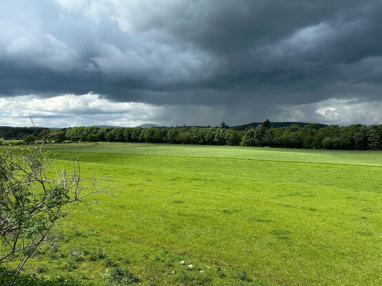
Storm Austen has made landfall across the UK today, Friday 23 October 2026, bringing severe gales and intense downpours that will persist through the weekend ahead of Storm Boelo. While the Environment Agency has issued coastal and river flood alerts across the South West, the Midlands, and northern England, recent prolonged drought across 51% of the country means rapid surface water run-off poses the most immediate, unmapped danger. Property owners and facility managers should enact flood emergency procedures immediately before localised rainfall totals peak.
Affected regions: where Storm Austen brings highest flood risk
The Met Office has issued yellow weather warnings for rain across southern and central Scotland, where between 20mm and 40mm of rain is forecast to fall, with up to 80mm accumulating in exposed upland areas. Further south, the Environment Agency flood warnings and 12 alerts cover coastal sections of Dorset and South Devon alongside sensitive river catchments including the Lower River Soar, River Maun, and River Stour. Across the South West and Wales, wind gusts reaching 60mph to 70mph will drive coastal spray and block drainage gullies with autumn debris, accelerating local flooding.
The primary hazard during this storm cycle is surface water rather than swollen rivers alone. As Previsico highlighted during Flood Action Week, baked and compacted earth cannot absorb sudden cloudbursts, meaning drought conditions amplify surface water run-off straight into municipal drains and ground-floor premises. Because statutory Environment Agency flood alerts primarily monitor main rivers, flash floods can peak within sixty minutes outside standard flood zones.
How to protect property before peak rainfall
Asset managers and residents should not wait for flood sirens or standing water to mobilise defences. Recent lab trials highlighted in our review of low-cost doorway flood defences prove that simple, proactive interventions cut leakage by up to 99% when deployed ahead of the deluge. Taking four rapid actions right now will significantly reduce structural and inventory damage:
- Seal external doors and low vents: Apply synthetic rubber or water-resistant duct tape across the bottom and side seams on the exterior of all ground-level entrance doors, and cap low air bricks.
- Clear private drains and gullies: Inspect gutters, downpipes, and drainage grates surrounding the building perimeter to remove fallen autumn leaves before rainwater backs up.
- Elevate vulnerable assets: Move portable electrical equipment, paper records, stock, and high-value machinery off basement and ground floors onto upper levels or raised racking.
- Deploy demountable flood barriers: Secure any pre-installed modular barriers or flood boards, ensuring seals are seated tightly against door reveals.
With Storm Boelo forecast to bring further heavy rainfall on Saturday and Sunday, maintaining vigilant property-level monitoring is critical throughout the entire weekend. For full checklists on developing resilience protocols and running site flood drills, review our practical guide to The Proactive Flood Risk Manager.
Previsico Team