
 Lauren LegateUpdated News & insights
Dry ground, wet risk: Why drought is the flood warning no one's watching but they should
It would be easy to assume a country worrying about water scarcity has, for now, stopped worrying about flooding. In fact, drought raises flood risk in two distinct ways that expose the same weakness in how flood risk is typically assessed.
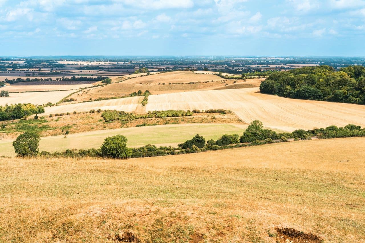
More than half of England, 51.4%, is now officially in drought. Rivers are running low, farmers are harvesting early and having reduced yield, and millions face water restrictions across London, East Anglia, the South West and the West Midlands. It's the second consecutive summer England has faced widespread drought, and the National Drought Group has called it “an exceptionally serious situation.”
It would be easy to assume a country worrying about water scarcity has, for now, stopped worrying about flooding. In fact, drought raises flood risk in two distinct ways, one immediate, one seasonal, and both expose the same weakness in how flood risk is typically assessed.
1. Dry ground floods faster, not slower
Soil that has spent weeks baking under drought conditions compacts and, in clay-heavy areas common across England, cracks. When heavy rain finally arrives, and short, intense storms are increasingly likely after record heatwaves, that hardened ground can't absorb water the way it would after a normal wet season. Rainfall runs straight off the surface instead of soaking in, overwhelming drainage and watercourses within minutes. A catchment that looks low-risk on paper, because it's dry, can flash flood violently the moment a storm cell passes overhead.
2. Drought summers don't mean a quieter winter
Climate scientists increasingly describe rapid swings between drought and intense rainfall, “hydroclimate whiplash”, as a feature of a warming climate rather than a one-off anomaly. England's second consecutive drought summer doesn't suggest flood risk is receding into next year; it suggests the risk window is compressing and becoming harder to predict. A dry summer can be followed, with little warning, by an autumn or winter of saturated ground and overwhelmed rivers.
The common thread: static risk views can't keep up
Both scenarios expose the same blind spot. Traditional flood maps and seasonal risk reviews are built on historical averages, they don't update in response to real-time ground conditions, rainfall intensity or river behaviour, and they assume risk follows a predictable annual calendar. Neither assumption holds up under drought-to-deluge whiplash.
For instance, “1-in-100-year” doesn't mean once a century, it's a 1% chance in any given year, and each year's odds reset independently, which is how Houston saw three separate “500-year” floods in just three years (2015, 2016, 2017). Climate change is making the historical data behind that label stale faster than ever.
For insurers, brokers and organisations managing flood-exposed portfolios, commercial property, infrastructure, retail sites, utilities, construction, that gap matters. It's precisely why Previsico built its approach around continuous, live intelligence rather than static scoring. The hydrodynamic model, developed from more than 20 years of research at Loughborough University, simulates how water will actually move across a landscape in near real time, factoring in live rainfall and ground conditions rather than relying on averages. Paired with on-site water level sensors providing live, localised data, it gives insurers, brokers and asset holders actionable alerts hours ahead of an event and a live view of risk that doesn't go stale the moment the season changes.
As England heads into an uncertain autumn following its second consecutive drought summer, the organisations best placed to manage flood risk won't be the ones with the best map of last year's floods. They'll be the ones with the clearest live view of what's happening on the ground right now and have proactive measures in place to take action when risk increases.
Lauren Legate