
 Lauren LegateUpdated News & insights
El Niño's coming home: why Britain needs to stop calling this a foreign problem
El Niño used to be something that happened to other people, in other continents. This time, it's coming home and we have the opportunity to be proactive against it.
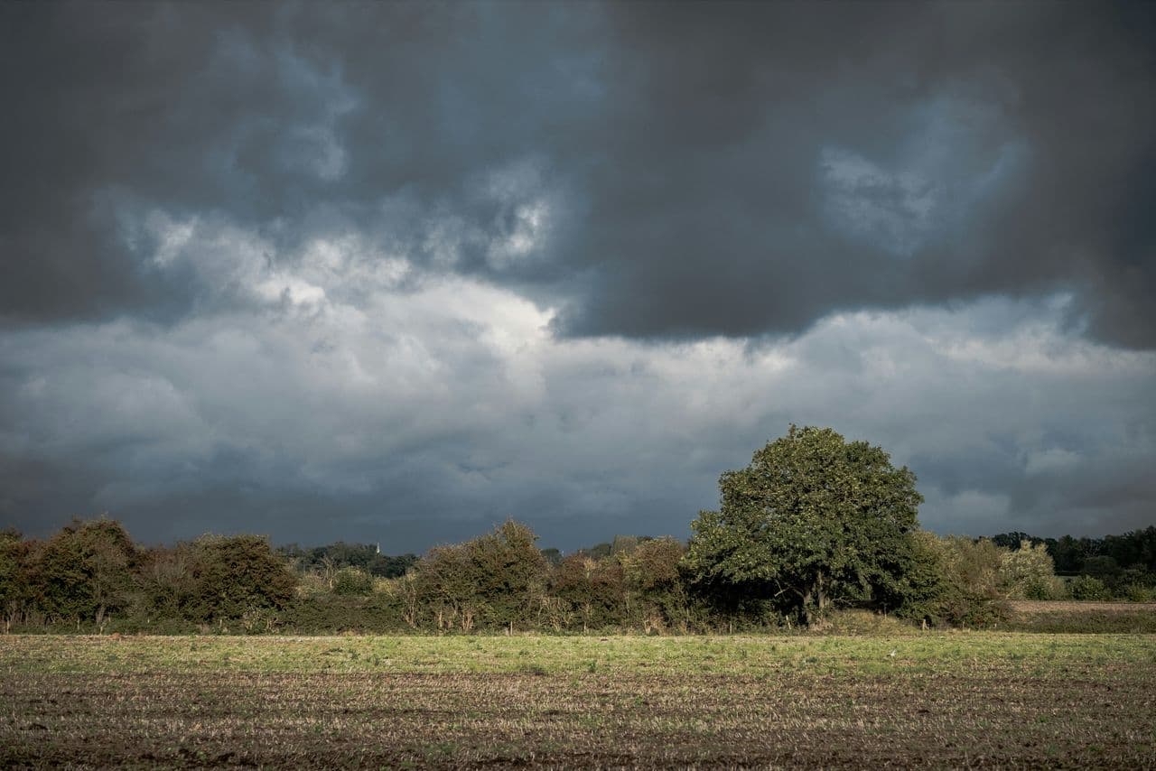
For most of us, El Niño has always been something that happens elsewhere. It's a phenomenon you read about in relation to somewhere else's monsoons, somewhere else's storm, somewhere else's drought. It has been easy to assume that it is not the UK’s problem, but this is about to change.
The Met Office has confirmed this is shaping up to be the strongest El Niño in more than a century, with Pacific sea temperatures forecast to climb by as much as 3°C, a scale not recorded since the 1800s. And this time, the headline isn't a story from the other side of the world but is a forecast for Britain. Increased rainfall and storms from around November, continuing into 2027. A direct UK weather event, and one the Met Office is confident enough about to flag it three months out.
Why this is different
El Niño events happen every few years, and Britain has largely watched them from a safe distance before. What's changed isn't just the strength of this one, it's how directly it's being pointed at the UK. This isn't “El Niño may have knock-on effects for European weather patterns” hedging. It's a specific, near-term forecast: more rain, more storms, sooner rather than later.
For a country that just endured its driest July in 190 years, with more than 71% of England and all of Wales in drought, that's a large pivot. Hardened, cracked ground doesn't absorb sudden heavy rainfall the way it would after a normal wet season, it sheds it, fast, straight into drains and watercourses that are already running low and unprepared for a sudden reversal. The dry summer isn't a reason to relax about what's coming. If anything, it raises the stakes on it.
A warning with an unusually long fuse
The warning might seem alarming but is useful as the UK doesn’t normally get this much notice. Flood warnings typically arrive with days' notice, sometimes hours. This time, the Met Office flagged the risk window in August for an event expected from November. That's months of runway, which is rare, and it changes what “being prepared” can actually mean.
A lead time like that is only valuable if something is done with it. The UK's National Drought Group, which brings together the Met Office, the Environment Agency, water companies and emergency responders, has already moved from monthly to weekly meetings to coordinate its response as conditions shift, months before the rain the forecast is warning about actually arrives. This is a great example of being proactive with the information available and putting it into practice.
What “for real” should mean for insurers, brokers and asset owners
We've already spoken to insurers whose own analysis points to a genuinely dangerous end of year. If El Niño has felt distant until now, this is the point where that stops being true for the organisations exposed to UK weather risk. A national seasonal forecast tells you a difficult autumn and winter are coming. It doesn't tell you which sites, which structures, or which weeks matter most, and that gap in information can change how people and businesses act before it costs them.
This is the moment to review which sites, structures or contracts sit in the paths this pattern is now pointing toward, and to test whether existing plans actually hold up, not in November when the rain arrives, but now, while there's still time to act. Previsico's Flood Intel Platform, built from more than 20 years of research, exists to close exactly this gap. The platform turns a national-scale warning into local, near real-time intelligence about where and when the risk is actually rising, hours ahead of the water arriving.
El Niño used to be something that happened to other people, in other continents. This time, it's coming home and we have the opportunity to be proactive against it. If you want to be more prepared for the upcoming storms, understand your risk and know how to be proactive, request a demo with our team who can start you on the resilience journey.
Lauren Legate