
When Floods Hit Election Day: The Continuity Blind Spot
Flash flooding during the 2026 US midterms in Arizona and Colorado showed how extreme water disrupts critical operations. Here is why continuity teams must prepare.
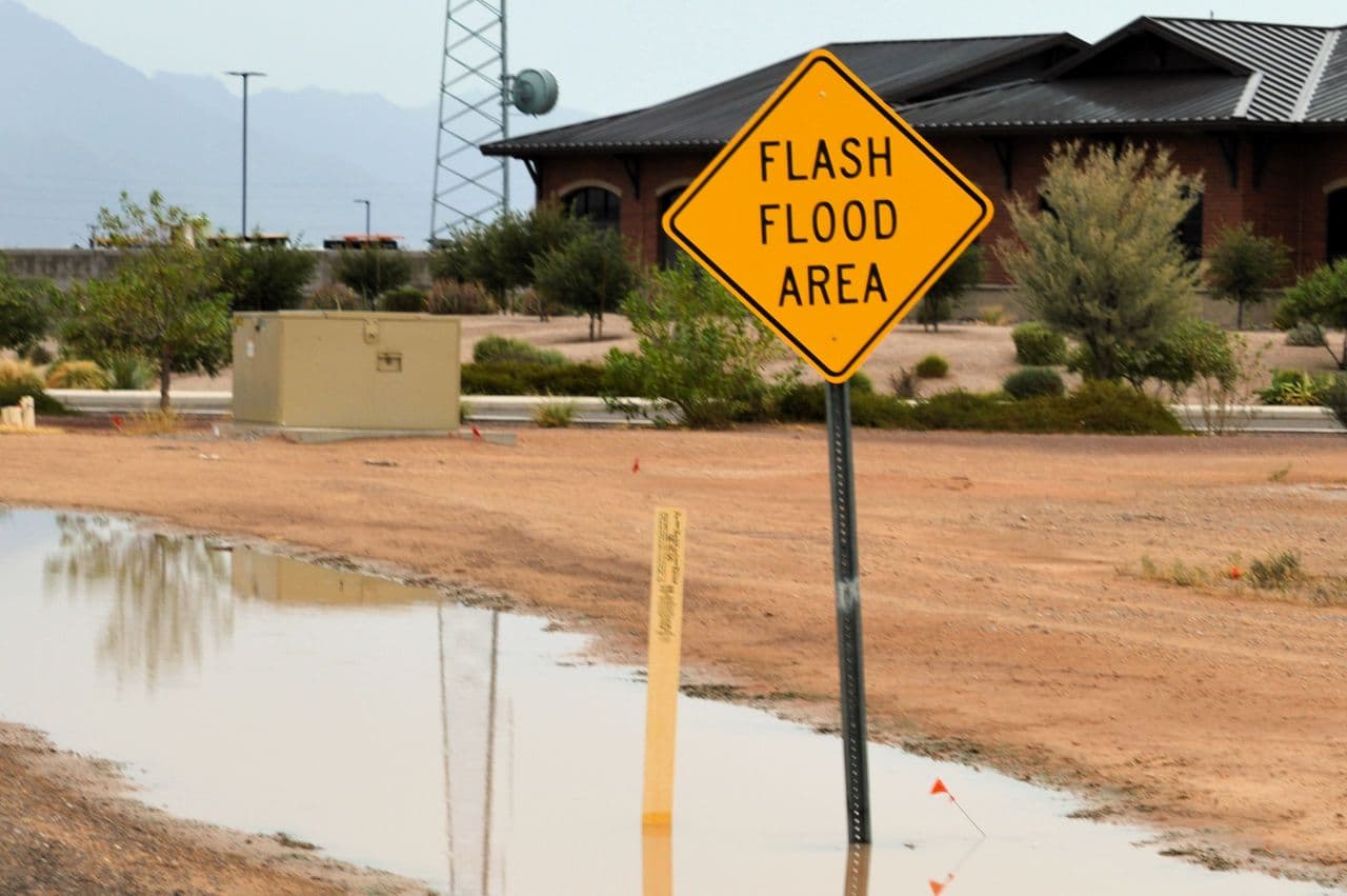
Sudden flooding in Southwest breaks civic routines
When heavy Pacific storms swept across the American Southwest on November 1–2, 2026, floodwaters did something risk planners rarely account for: they shut down polling stations on Election Day. Flash flooding in Sedona, Arizona, and near-record river crests in Pagosa Springs, Colorado, forced state officials to implement emergency ballot procedures as roads crumbled and waters surrounded civic buildings. This disruption exposes a fundamental truth for risk managers: severe flooding does not wait for convenient operational windows. When critical operations rely on static flood maps rather than proactive, real-time intelligence, even the most essential civic and commercial activities face sudden paralysis.
The sudden storm sequence across the Four Corners region turned local watercourses into emergency barriers within hours. As reported by ABC News, the San Juan River in Pagosa Springs surged to 16.81 feet on Sunday night, approaching its historic 1911 high-water mark of 17.8 feet. The deluge forced mandatory evacuations across Archuleta County and prompted the Colorado Secretary of State to authorize emergency replacement ballots and statewide drop-off rules for displaced voters.
Further south, Oak Creek breached its banks in Sedona, Arizona, trapping residents in their homes and prompting rapid water rescues as detailed by The Washington Post. In neighbouring La Plata County, authorities closed every county road after swollen tributaries damaged bridges and submerged transit arteries. While emergency personnel worked to keep essential polling centres accessible, physical access became impossible for hundreds of voters and workers.
Why access routes fail before facilities flood
A building does not need to take in water to suffer a catastrophic continuity failure. During the Southwest storms, dozens of commercial facilities, election stations, and municipal buildings remained structurally dry but were completely cut off by submerged access roads, failed culverts, and compromised bridges. When the primary transit artery into Pagosa Springs came under threat, local business owners faced the immediate prospect of severed deliveries for food, fuel, and medical supplies.
This dynamic represents a primary vulnerability in traditional enterprise risk planning. Most facility managers check statutory flood zones to ensure their specific parcel sits above the regulatory floodplain, ignoring the feeder roads and utility corridors outside that perimeter. Surface water runoff and overwhelmed municipal storm sewers frequently block employee transit, customer ingress, and logistics corridors long before nearby rivers spill their banks.
- Ingress and egress routes: Low-lying access roads and underpasses submerge, preventing staff, emergency personnel, and customers from reaching the site.
- Utility and drainage backup: Saturated municipal networks force storm drains and sewage to back up into basements, utility rooms, and ground-floor connections.
- Supply chain cut-offs: Localized bridge scour and culvert blowouts halt inbound deliveries of critical components, inventory, and fuel.
- Regulatory and civic disruption: Mandated local evacuations force facility closures even when onsite flood barriers remain intact.
Operational schedules: why flood risk ignores critical milestones
Natural hazards strike without regard for scheduled deadlines, peak trading periods, or national voting days. Organizations typically build continuity plans around controlled testing cycles, assuming they will receive ample warning to trigger pre-agreed crisis workflows. The Southwest storms proved that extreme weather compresses response times to a matter of hours, arriving precisely when public attention and logistical demand peak.
When an unexpected event strikes during an operational milestone, reactive measures inevitably fail under pressure. In Pagosa Springs, county election officials scrambled to distribute replacement ballots and coordinate state-level drop-offs while coordinating active river evacuations. For commercial enterprises, undergoing a similar scramble during a product launch, peak manufacturing run, or financial close carries devastating direct losses and reputational fallout.
Proactive continuity
True operational resilience requires moving from historical flood risk assumptions to real-time, predictive flood intelligence. Static flood maps only show where water gathered in past decades under historical weather patterns, offering zero visibility into surface water accumulation from modern, intense convective downpours. Continuity teams must deploy active forecasting systems that model surface runoff and drainage thresholds down to the individual asset level.
Organizations that successfully navigate severe weather build their operational playbooks around clear advance triggers. A dependable resilience workflow incorporates four foundational steps:
- Audit access dependencies: Map every critical supply route, access road, and utility connection against localized surface water models rather than general river zones.
- Deploy street-level monitoring: Combine IoT hydrological sensors with advanced surface water forecasting to detect rising water levels in real time.
- Establish tiered response triggers: Define automated actions, such as deploying doorway barriers and rerouting transport, based on early alerting.
- Rehearse scenarios around real events: Conduct continuity drills using simulated flash flood timelines to ensure teams act decisively when warnings trigger.
The Election Day floods across Arizona and Colorado delivered an unmistakable lesson: flood resilience cannot remain an afterthought in annual risk reviews. By combining granular surface water forecasts with street-level telemetry, operations leaders and civic authorities can transform unexpected downpours into manageable, rehearsed events. The weather will continue to disrupt national schedules, but with actionable early warnings, organizations can protect their people, access, and assets before the first drop hits the ground.
Explore how Previsico helps enterprises and public infrastructure teams anticipate surface water and river flooding up to 48 hours in advance. Request a demo to see our live forecasting in action.
Previsico Team