
Flood Alert Gap
Surface water flooding in the UK
Surface water flooding, also called pluvial, stormwater or flash flooding, happens when intense rainfall overwhelms drainage before the water reaches a river. It is the source of the majority of UK floods and puts more properties at risk than rivers and the sea combined. Because it is fast and local, it is the hardest flooding to warn for at property level.
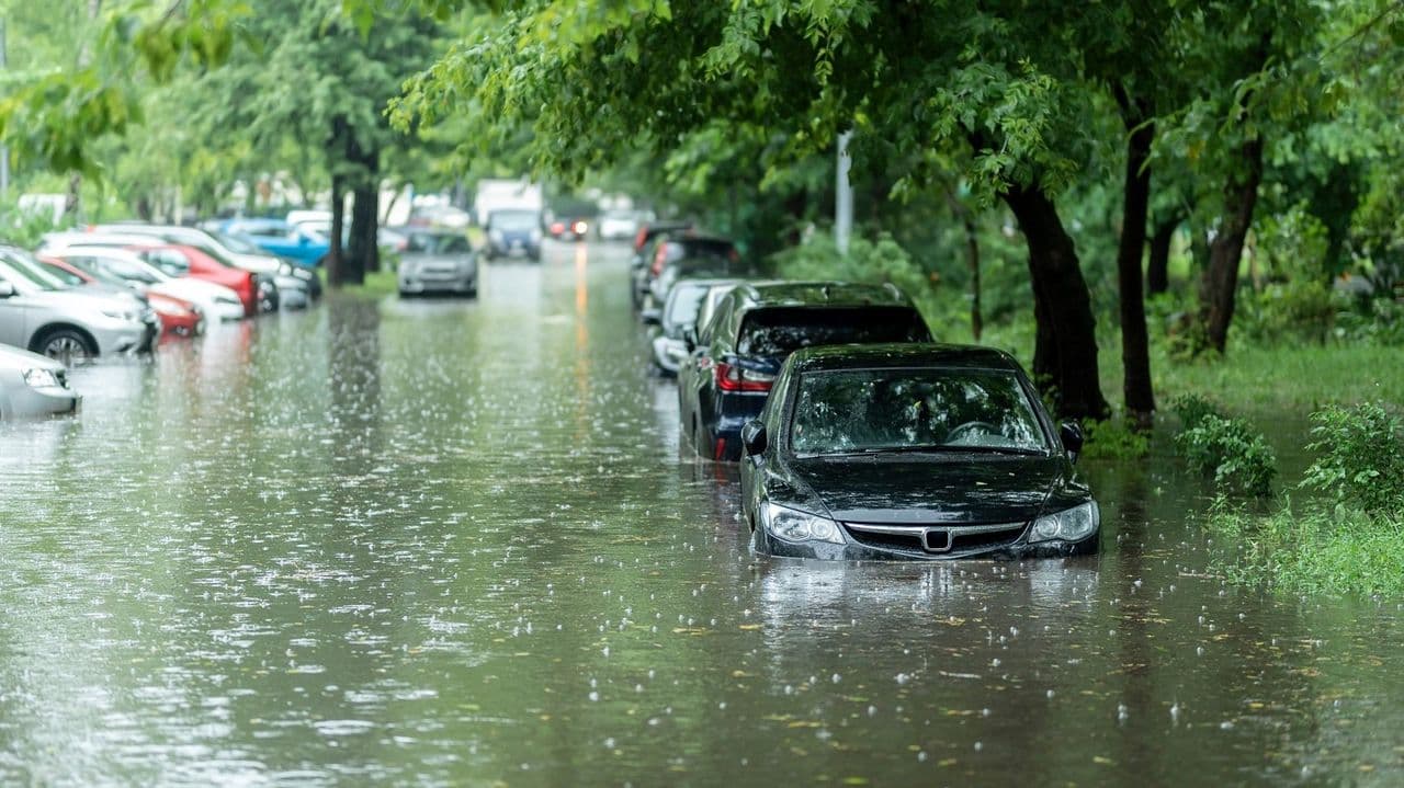
What is surface water flooding?
Surface water flooding happens when drainage systems are overwhelmed by intense rainfall, typically in built-up areas. It is distinct from river (fluvial) flooding, where a watercourse overtops its banks, and from coastal flooding, where the sea breaches or overtops defences.
Because it comes from rainfall hitting infrastructure directly rather than a river overflowing a floodplain, surface water flooding can affect whole towns and cities at once, not just properties near a watercourse or coastline.
Rising risk
Why surface water flooding is increasing
More intense rainfall
The UK's climate is shifting toward more frequent, heavier downpours, and drainage systems built for calmer decades are having to work harder to keep up.
More hard surfaces
Denser development and more paved-over land mean rain reaches drains faster, with less green space to soak it up first.
Ageing drainage
Many drainage networks were designed for less intense rainfall than they see today, so they are exceeded more often.
How many UK properties are at risk of surface water flooding?
Around 4.6 million UK properties are at risk of surface water flooding, according to the Environment Agency's 2024 National Assessment of Flood Risk (NaFRA2), about 43% more than the previous assessment, and more than the 2.4 million at risk from rivers and the sea.
Why surface water flooding is hard to warn for
It forms fast and locally, so general rainfall forecasts cannot tell you whether a specific property will flood. The free national warning service covers rivers and the coast; surface water is forecast nationally at area level rather than warned for at property level.
Surface water flood forecasting
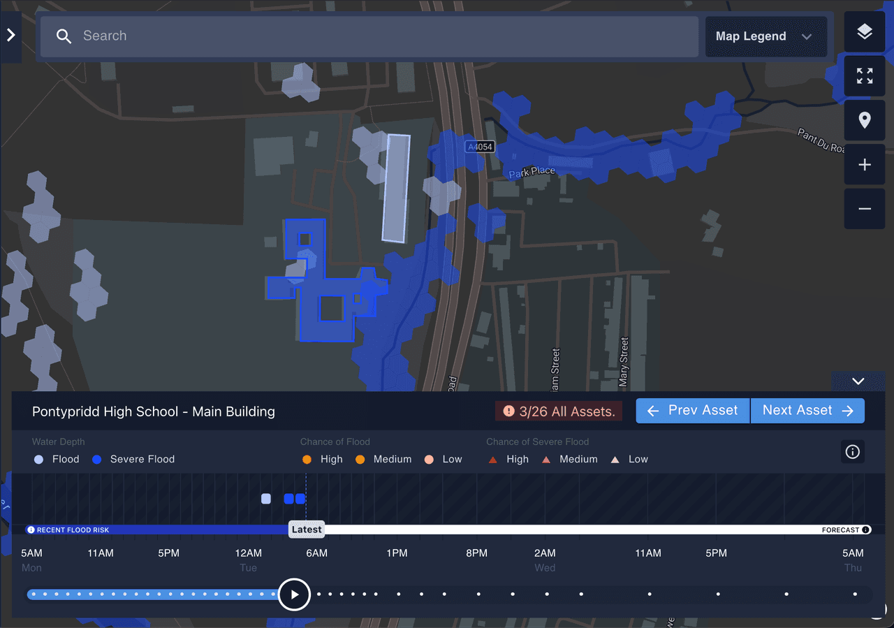
See flood risk at the property, not the area
Surface water flood forecasting models how water actually flows across the ground, using hyperlocal rainfall, drainage, topography, soil and antecedent conditions, to warn at the individual property up to 48 hours ahead. Previsico's live hydrodynamic FloodMap+ engine, developed over two decades at Loughborough University and published in Nature and Nature Water, does exactly this, refreshed hourly.
The scale of the problem
Key numbers
Environment Agency
Environment Agency, NaFRA2 (2024), up 43% on the prior assessment
Environment Agency
Previsico product specification
Frequently asked questions
Surface water flooding, also known as pluvial or flash flooding, happens when heavy rainfall overwhelms drainage before it can reach a river. It's the most common type of flooding in the UK, and because it's fast and local, it's also the hardest to warn for at property level.
Yes. Surface water flooding, pluvial flooding and flash flooding all describe the same thing: flooding caused by rainfall overwhelming drainage, rather than a river or the sea overflowing.
Around 4.6 million UK properties are at risk of surface water flooding, according to the Environment Agency's 2024 National Assessment of Flood Risk (NaFRA2), more than the 2.4 million at risk from rivers and the sea combined.
Yes. Surface water flood forecasting models how rainfall moves across the ground to warn at the individual property level, up to 48 hours ahead. Explore the platform to see how Previsico does this.
See your surface water risk, property by property.
Get a free flood-risk assessment and see what property-level surface water forecasting looks like for your organisation.
Related reading: The Flood Alert Gap · Does the Environment Agency warn about surface water? · How much notice do flood warnings give? · When will national surface water warnings arrive? · The cost of flooding to UK business
Last updated August 2026.