
Does the Environment Agency warn about surface water flooding?
The Environment Agency’s free flood warning service covers flooding from rivers and the sea. Surface water flooding is assessed and forecast nationally at an area level, but the EA does not issue property-level surface water alerts. So most properties get no direct, advance alert of a surface water flood.
Updated October 21, 2026

What the Environment Agency's free warnings cover
The Environment Agency’s free service issues three official tiers for river and coastal flooding through its national Flood Warning Service, a valuable public service for river and coastal risk.
Flood Alert
Flooding is possible. Be prepared.
Flood Warning
Flooding is expected. Immediate action required.
Severe Flood Warning
Severe flooding. Danger to life.
This is a coverage boundary by design, built around river and coastal gauges and hydrological models, not a shortcoming in the service.
How surface water flooding is handled today
Surface water risk is mapped and forecast nationally, through the Environment Agency’s surface water risk maps and the Flood Forecasting Centre’s daily Flood Guidance Statement, but at an area or regional level for emergency responders. It is not issued as an advance, property-level alert to the property owner.
That area-level picture is exactly what national forecasting programmes are working to improve.
Is Flood Zone 1 safe from surface water flooding?
No. Flood Zones 1, 2 and 3 map flood risk from rivers and the sea only. A property in Flood Zone 1 (low river and sea risk) can still flood from surface water, because surface water risk is not what Flood Zones measure. Low river risk does not mean low surface water risk.
Low river risk isn't low surface water risk
Flood Zone 1 Not surface-water safe
Flood Zones 1, 2 and 3 map risk from rivers and the sea only. Flood Zone 1 means low risk from those sources, it says nothing about surface water.
Assessed outside the Flood Zone system
Surface water flooding A separate risk entirely
Surface water risk comes from rainfall overwhelming drainage, not river or sea levels, so it needs its own assessment.
How to get property-level surface water alerts
Previsico complements the free national service by forecasting surface water flooding at the individual property, likelihood, severity and timing per asset, refreshed hourly, up to 48 hours ahead. It closes the gap the free service leaves for surface water.
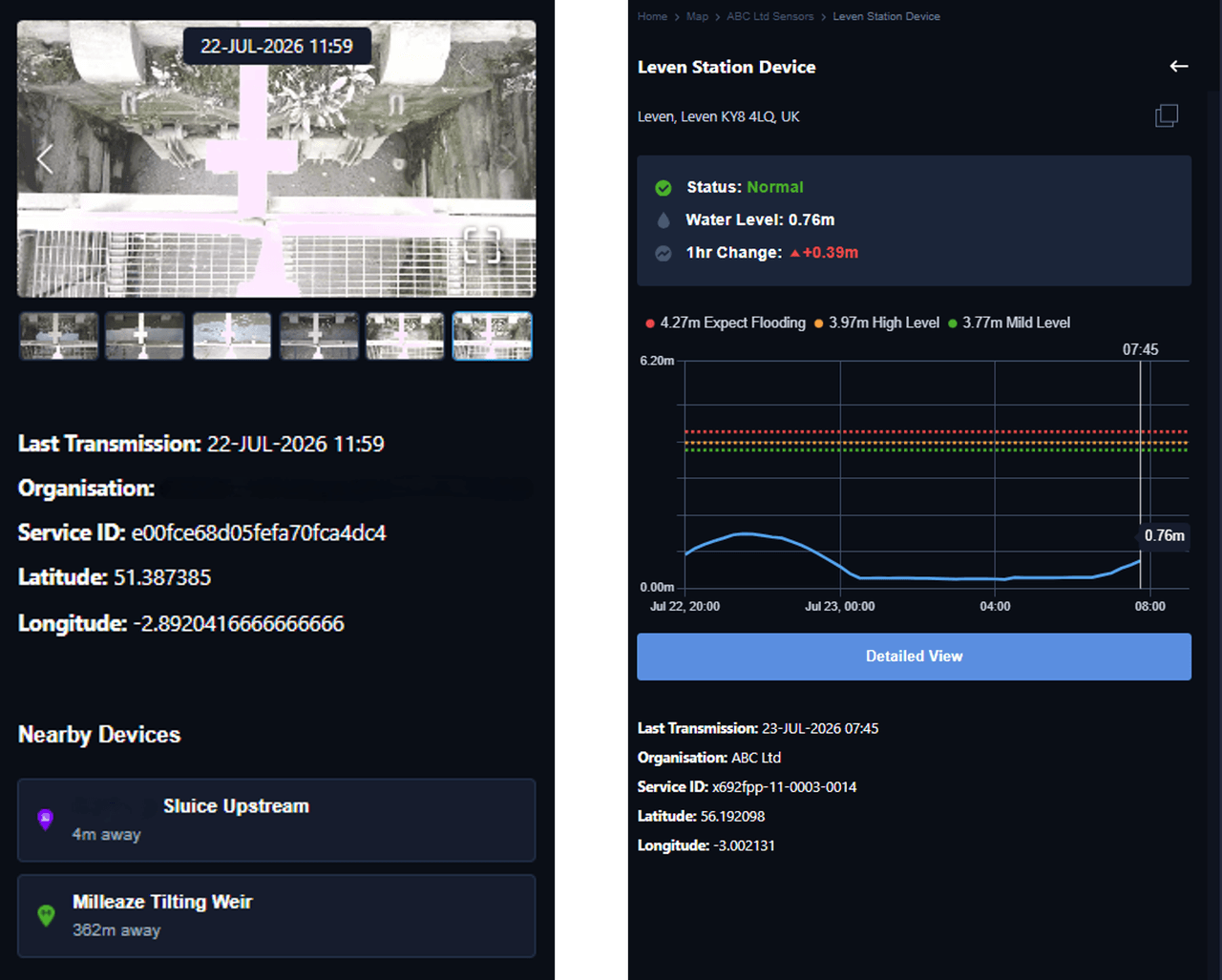
Property-level forecasting
Likelihood, severity and timing of surface water flooding, forecast for each individual asset, not just an area on a map.
Up to 48 hours' notice
Alerts refresh hourly, at property level detail, giving teams time to prepare before water arrives.
Frequently asked questions
Straight answers about the Environment Agency's coverage and Previsico's property-level alerts.
The Environment Agency's free service issues warnings for river and coastal flooding, Flood Alert, Flood Warning and Severe Flood Warning. It does not issue property-level alerts for surface water flooding, which is assessed nationally at an area level rather than as an advance alert to the property owner.
A Flood Alert means flooding is possible, be prepared. A Flood Warning means flooding is expected, immediate action is required. Both are issued by the Environment Agency for rivers and the sea; a Severe Flood Warning follows when flooding is severe and there is danger to life.
No. Flood Zones 1, 2 and 3 classify risk from rivers and the sea only. A property in Flood Zone 1 can still flood from surface water, because surface water risk is assessed separately and is not part of the Flood Zone system.
Yes. Previsico forecasts surface water flooding at the individual property, refreshed hourly, up to 48 hours ahead, closing the gap left by the free national service.
See your own sites' surface water risk.
Get a personalised view of surface water risk across your sites, free, with no obligation.
Last updated August 2026.