Balfour Beatty VINCI leverages The Previsico Flood Intel Platform
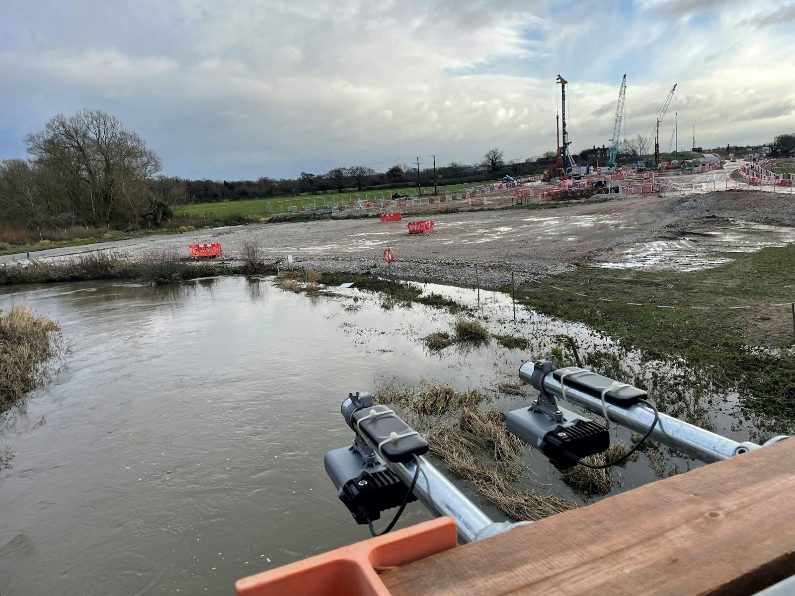
Balfour Beatty VINCI are leveraging The Previsico Flood Intel Platform to effectively monitor water levels along the ordinary watercourse at the River Blythe Viaduct site.

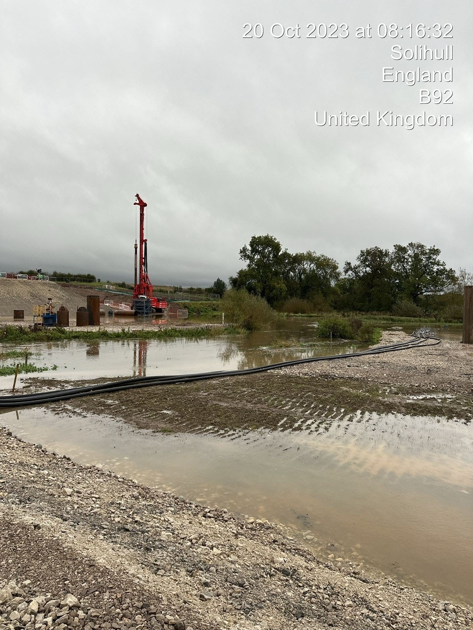
We used the Previsico flood forecasting and sensor technology, which delivered a flood alert specific to our River Blythe HS2 construction site with 36 hours to prepare. In this time, we were able to move critical infrastructure including, a crane, excavator, sheets of timber, fuel cubes etc. This allowed us to mitigate asset damage during this event and safely demobilise from a flood zone of a SSSI River.
Balfour Beatty VINCI (BBV) is a joint venture between Balfour Beatty and VINCI.
BBV is HS2’s construction partner in the Midlands, UK responsible for delivering a 90km stretch of the route, spanning from Long Itchington in Warwickshire to the centre of Birmingham and onto Handsacre in Staffordshire.
Within BBV’s 90km stretch of the route is the River Blythe Viaduct, located, just south of the new HS2 Interchange Station in Solihull. The River Blythe Viaduct is 500 metres long and a site of scientific interest. BBV had to obtain special consent from the England's Environment Agency in order to deliver the project. Known as Part 5 of Schedule 33, it gives the Environment Agency powers to review works that could affect any drainage or quality of water onsite.
Rory Garry, Construction Manager, BBV HS2 said: “The Environment Agency’s system tells us we have to comply with certain guidance. The onus is on us to manage any flooding events, but we need insights. Without Previsico we couldn't comply to the Environment Agency’s consents”.

By utilizing the Previsico Flood Intel Platform, which integrates flood forecasting, drainage, and waterbody monitoring, BBV was able to effectively manage the site.
The team on the ground were focused on avoiding river pollution, preventing downtime, minimizing delays and equipment loss. One major challenge the Construction Manager faced was the need to plan work on-site effectively given that the team were working in a floodplain.
“We don’t want to move all our equipment every time it rains. We needed intelligent data to help us manage the site,” said Rory.
With the addition of multiple sensors, some located off-site, the construction team could track the flow of the river and gain a clearer understanding of the flood situation. From an operational perspective, if this data had not been available it would have led to more waste including damaged equipment, ruined materials, and delays in the project timeline.
“Previsico gives us a better picture of what’s coming and what’s happened. The more information you have on a construction site, the better”, added Rory.

- Mitigation of flood impacts from stormwater and ordinary watercourses, addressing perils not typically covered by conventional forecasting systems.
- Implementation of climate risk mitigation measures to ensure compliance with health and safety regulations.
- Provision of forecasts, alert notifications, and data empowering the site workforce to undertake pre-emptive actions, thereby minimizing potential losses.
- Reduction of unexpected asset repair costs, excess fees, and replacement expenses, while fulfilling environmental, social, and governance (ESG) commitments.
- Prevention of delays and demonstration of best practices in project management and environmental stewardship.
- Extra elevation (LiDAR) data ingested into the Previsico platform helps ensure construction continues amidst changing landscape of the site.
- Supply rainfall data to inform client and/or subcontractors about downtime on site – which helps during the claims process.
- Optimized sensor locations both on and off site expands the precision of early warning alerts and ensures business continuity is maintained.