Flood forecasting
- A unique stormwater flood warning service at the property level.
- Warnings up to 48 hours in advance driven by live, hydrodynamic modelling.
- Over and above river and coastal warnings issued by government.
Protecting critical infrastructure and understand the risks to networks and infrastructure with our Flood Intel Platform
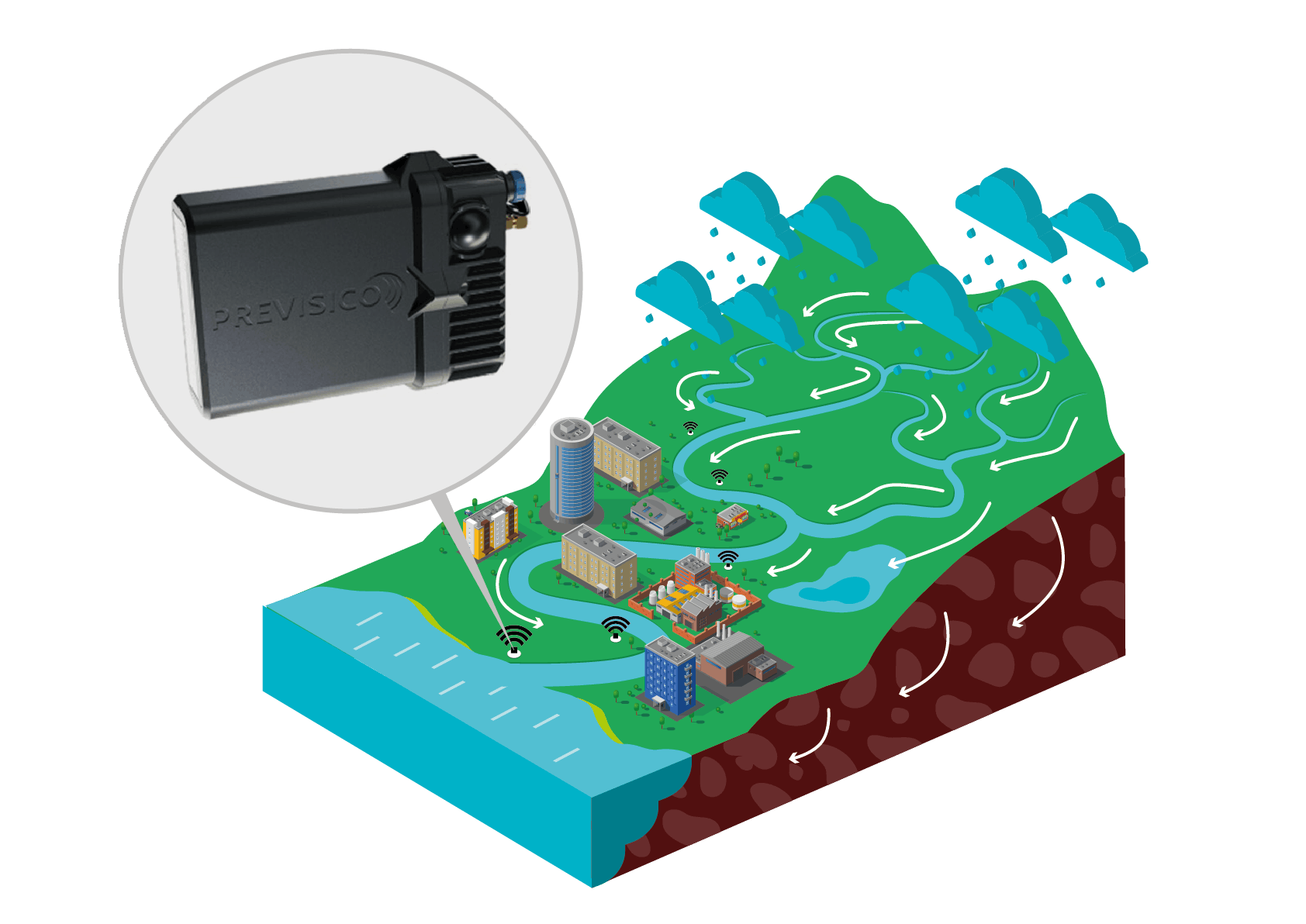
A first-of-its-kind combination of technologies to forecast the types of floods that catch energy providers off guard.
Mitigates impact and losses from:

Leveraging existing sensor data and bespoke models to:
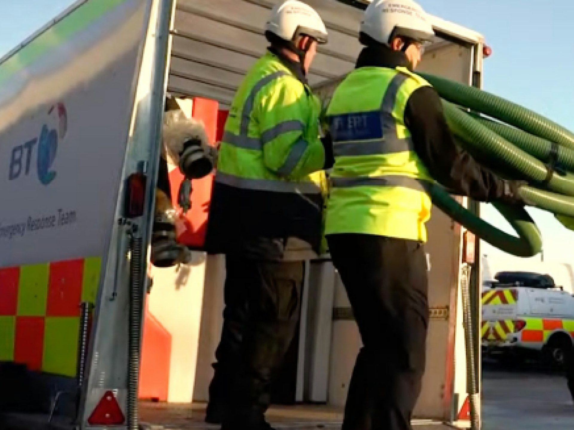

Collaborations like this are helping us unlock the new capabilities, we will need to manage our assets in the face of the increasing impacts of climate change. The project will harness the data available to us more effectively to ensure our network infrastructure remains resilient against extreme weather events in the future.
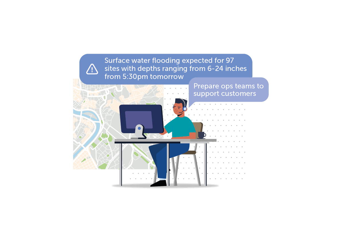
Have all essential team members receive actionable flood alerts when critical risk thresholds are exceeded to enable proactive measures to be taken to reduce the impact of incoming flooding.
* View our sources list on this page.