
 Lauren LegateUpdated News & insights
When the government warning isn't enough: Lessons from the July 18 NYC flash flood
A fast-moving storm brought flash flooding to New York City and the wider Northeast Corridor on July 18, 2026. The National Weather Service issued its warning. But for businesses and asset holders across the region, the real question isn't whether a warning was issued — it's what that warning actually told them.
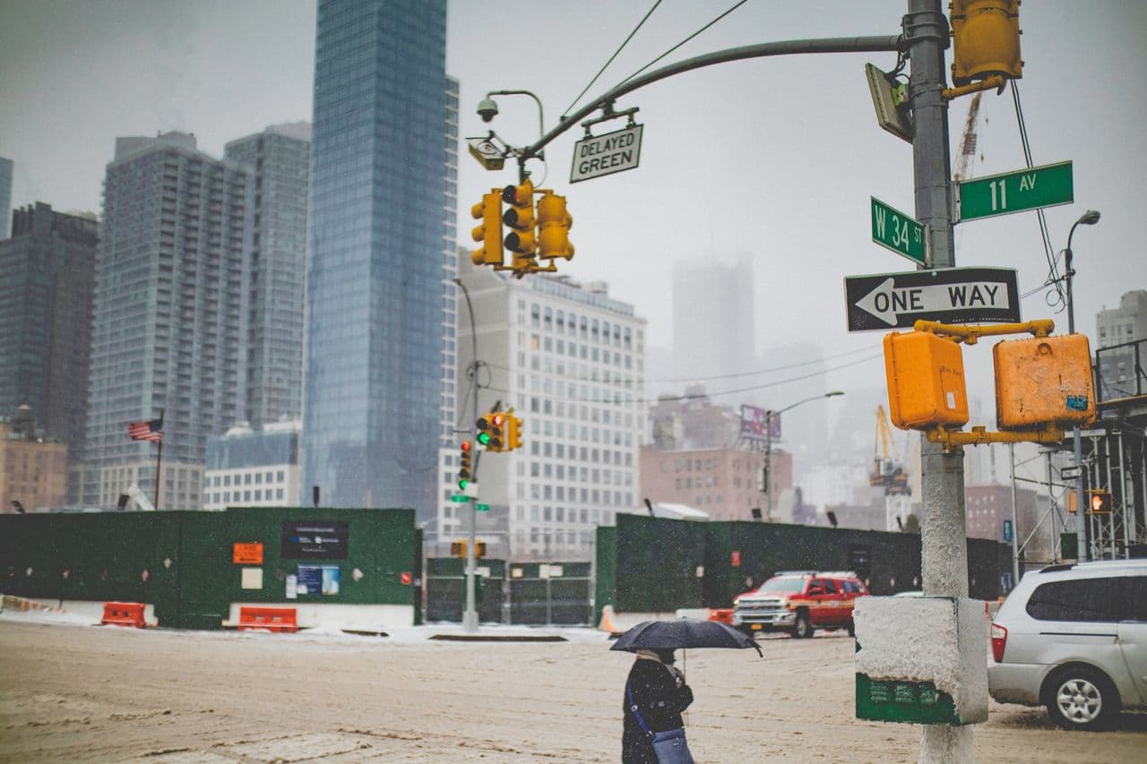
In the space of a few hours on the morning of July 18, a convective storm dropped intense rainfall across New York City, triggering flash flooding that shut down subway stations, forced ground stops at JFK, LaGuardia, and Newark Liberty, closed major arterial roads, and prompted water rescues in Brooklyn, Queens, and New Jersey. By early afternoon, 183 flood locations and 49 flooded road segments had been logged across the region.
It was a significant event. But perhaps the more significant question is this: how much warning did anyone actually have?
What a flood warning tells you
The National Weather Service issued a Flash Flood Warning for Kings and Queens Counties at 09:25 EDT — escalating it to life-threatening status at 12:25 EDT. That warning is a crucial public safety tool. But it covers two of New York's five boroughs: a combined area of more than 450 km², home to millions of people, thousands of businesses, and a dense web of infrastructure. Furthermore, the warnings came only an hour before the rainfall had started, this short lead time makes it impossible for people to proactively respond and take action to reduce flood impacts.
What the warning doesn't tell you is which streets will flood. It doesn't tell you how deep the water will be. And it doesn't tell you whether your warehouse in Bushwick, your substation in Jamaica, your logistics depot in Long Island City, or your office in Lower Manhattan specifically is at risk. With warnings coming as often as they do, most people ignore them until its too late.
What flood intelligence tells you
Previsico's flood forecasting system tracked the July 18 event in real time. By combining live radar rainfall data with 25 years of hydrodynamic modelling research, it generated a high-resolution forecast of standing water across the Northeast Corridor — mapping 176 km² of predicted flood extent, with 96 km² concentrated in the NYC metro core.
Critically, that forecast didn't just identify where water would appear but it modelled how deep. The majority of the forecasted extent involved shallow surface water typical of road ponding. But an estimated 4.7 km² was modelled at depths above 50 cm: the kind of water that traps vehicles, triggers rescues, and forces operational shutdowns. Those are exactly the locations that logged the most severe real-world impacts on the day.
At Roosevelt Avenue-Jackson Heights station in Queens, one of the borough's busiest transit hubs, floodwater poured down the station stairs and across the platform as commuters watched helplessly. Footage shared widely on social media showed passengers wading through standing water just to reach the exit — a scene repeated across multiple subway stations throughout the afternoon.
Above ground, the scale of disruption stretched across the city's cultural life too. A sold-out Noah Kahan concert at Citi Field was cancelled mid-evening, leaving thousands of fans stranded outside in the rain. Across the borough in Forest Hills, a Zeds Dead show at Forest Hills Stadium was shut down for the same reason.
The cost of the gap
Estimated damage to the NYC metro area from this single event ranges between $200 million and $610 million — calibrated against Hurricane Ida (2021), which caused $781 million in verified damage across the city and remains the closest comparable event.
Not all of that damage is preventable, but a significant portion is driven by decisions or the absence of them. Whether equipment gets moved. Whether staff get mobilised. Whether operations get paused at the right locations before water arrives rather than after. Those decisions require specific, site-level information — and they require it with enough lead time to act.
Based on this event's estimated damage of $200–$610 million and using Previsico’s customer reaction rates to determine an estimated proportion of people that will respond and take action based on the alerts, the pool of damage open to mitigation sits between $100 million and $305 million. Apply the Lloyd's Lab finding that up to 70% of flood losses can be mitigated with adequate early warning, and the numbers become stark: between $70 million and $214 million of the damage caused by the July 18 storm could have been prevented.
This is the new normal
Flash flooding is not a rare exception. Extreme rainfall events are becoming more frequent and more intense. The July 18 storm reached peak rainfall rates that exceeded New York City's sewer system design capacity — and it did so in a matter of hours, leaving little time to respond reactively.
For insurers, asset managers, utilities, real estate operators, and any business with physical exposure across flood-prone areas, the question is no longer whether to take flood risk seriously. It's whether they have the right intelligence to act on it.
Extreme flood events like this are becoming increasingly common globally and with the right advanced warning to be proactive and prevent the impacts of flooding being severe, months of repair costs could be reduced, people won’t have to relocate to temporary accommodation and people who work at unaffected businesses won’t lose out on an income as business is able to continue.
Download the full July 18 Flash Flood Event Report for the complete rainfall analysis, forecasted flood extent maps, depth breakdown, and estimated damage data for the NYC metro area.
Lauren Legate